GIS and Remote Sensing in Wildlife Management
Overview
Geographic Information Systems (GIS) and Remote Sensing (RS) are vital tools in wildlife and conservancy management, where resources are spatial in nature. GIS involves capturing, storing, processing, analyzing, and displaying geo-referenced data, while RS acquires information about objects without physical contact. This course equips participants with practical skills to collect, manipulate, and analyze spatial data for wildlife management and conservation. Participants will learn to apply GIS and RS techniques to track species abundance and distribution, monitor habitats, and support conservation planning and decision-making.Target Audience
Professionals requiring GIS and Remote Sensing skills for wildlife and conservancy management.Learning Outcomes / Objectives
By the end of this course, participants will be able to:- Understand the principles of GIS and Remote Sensing.
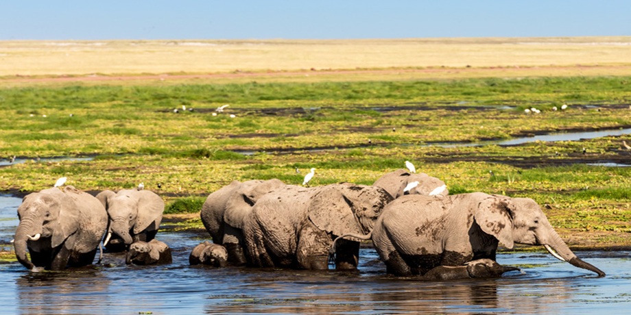
- Understand the concepts of wildlife management and conservation.
- Utilize spatial data, GIS, and remote sensing in conservancy and wildlife management.
- Competently perform data capture, input, manipulation, and display using GIS.
- Work effectively with GPS/GNSS systems.
- Develop and manage GIS databases for wildlife management.
- Apply GIS and RS techniques to wildlife conservation and management projects.
Duration
5 daysModules / Course Content
Module 1: Introduction to GIS and Remote Sensing in Wildlife Management Introduction to Spatial Data Gathering and Analysis
- Explanation of GIS and RS concepts
- Exploration of GIS interlinkages with other fields
- Introduction to GPS, GIS, and Remote Sensing Principles
Principles of GIS and Remote Sensing
- Components of GIS Systems
- GIS capabilities and functions
- Spatial data infrastructure
- Principles of GPS and GNSS
- Mobile-based GPS (ODK) for data collection
- Survey authoring and GIS mapping of ODK-collected data
- Online web mapping (Google Maps)
- Exporting data to GIS/RS environment
- Hosting spatial data online
Module 2: Data Acquisition and Database Design Data Acquisition from Various Sources
- Extracting features from satellite images
- Importing GIS data from online sources and topographic sheets
- Downloading data from OpenStreetMap
- Working with spreadsheet data in GIS
- Conceptual and logical database design
- Building and coding attributes
- Digitizing and scanning maps
- Relating spatial and attribute data
Module 3: Editing GIS Data and Integrating Remote Sensing Editing and Management of GIS Data
- Adding features to GIS data
- Reducing GIS datasets
- Cutting points of interest in image datasets
- Transforming GIS data
- Radiometric and atmospheric correction
- Temporal normalization
- Geo-coding and geo-referencing
- Transformation and signature development
- Supervised and unsupervised classification
- Change detection and accuracy assessment
- Geo-processing, views, and themes
- Working with attribute tables
- Spatial query and analysis
- Charts and map layouts
- Digital cartography and visualization
Module 4: Cartographic Visualization and Mapping Map Design and Components
- Components of a map
- Symbol design, name placement, and scale
- Map projections
- Data pre-processing techniques
- Visualization and mapping of wildlife abundance and distribution
- Mapping wildlife resource requirements
- Habitat suitability modeling for wildlife
- Accuracy assessment of suitability maps
- Modeling species-environment relationships
- Transferability of species data
- Innovative mapping of wildlife and physical environment
Module 5: Analysis and Monitoring Using GIS and Remote Sensing Protected Areas and Land Use Monitoring
- Design and management of protected areas
- Land cover/use mapping
- Tropical forest and coastal monitoring
- Vegetation mapping
- Land and marine species tracking
- Conservation planning
- Biodiversity assessment and mapping
- Natural resource management
- Ecosystem analysis
- Environmental risk assessment
- Habitat description and coastal zone management